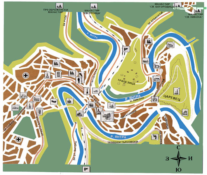
Veliko Tarnovo map
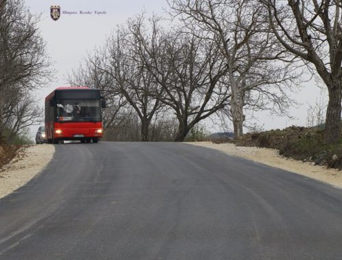
U.S. navigation company “Tele Atlas” are mapping the streets of Veliko Tarnovo. A special bus is touring the Old Bulgarian Capital, making digital images of streets, buildings, intersections, traffic signs, traffic lights and main elements of the town infrastructure.
The company aims at creating a dynamic digital map, which then will be uploaded to car sat-navs. This electronic guide targets foreigners and visitors of Veliko Tarnovo.
The company provides continuous positioning, which is controlled by three satellites. This way, no one will get lost and easily find the main attractions of the town, as well as any address in town.
Unlike traditional GPS system information, here you can see images of objects, thus making the orientation much easier.


